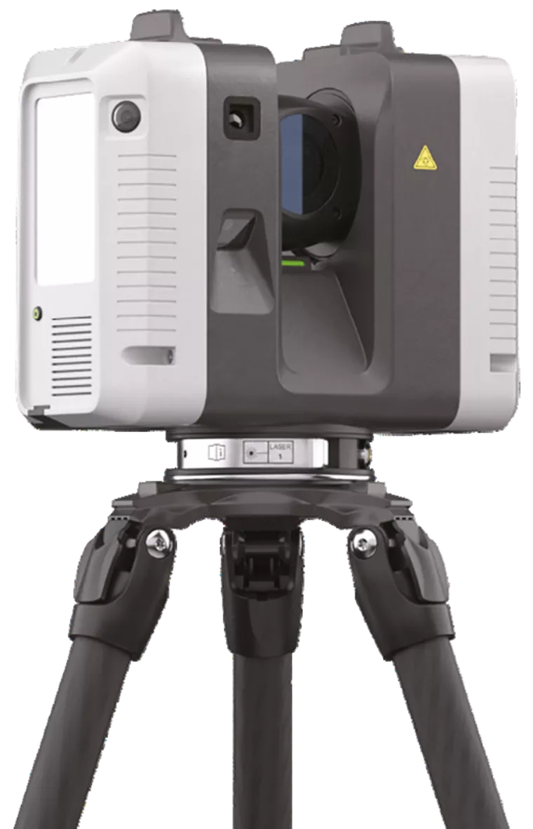
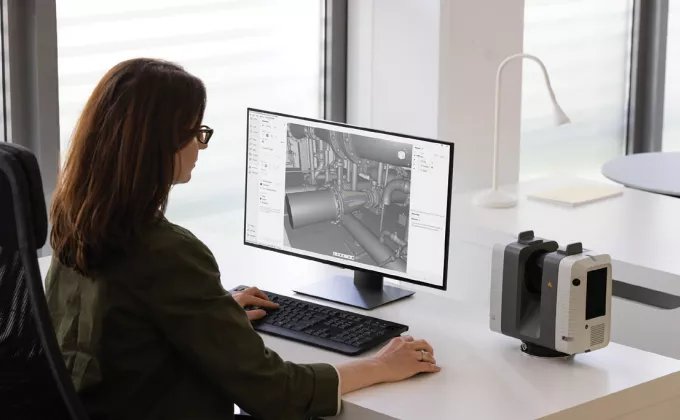
In today’s fast-paced world, the demand for digitizing physical objects is on the rise. From surveying and engineering to building construction and heritage preservation, industries across the board are seeking efficient and accurate ways to capture the real world in stunning detail. Artec 3D, a leading provider of 3D scanning solutions, has once again raised the bar with their latest product release. The Ray II sets a new standard for 3D scanning, offering best-in-class features that make it the ultimate choice for large-scale item digitization.

Advantages of the Artec Ray II
Metrology-grade Precision
When it comes to capturing precise measurements, the Ray II excels. Its advanced technology ensures accuracy down to the finest details, making it ideal for applications that require precise measurements, such as surveying and engineering projects.
Portable & Easy Setup
Gone are the days of cumbersome and time-consuming setup procedures. The Artec Ray II is designed with portability in mind, allowing users to easily transport it to various locations. Setting up the device is a breeze, saving valuable time and effort.
Speed of Data Acquisition
Time is of the essence, especially when it comes to large-scale scanning projects. With the Ray II, capturing high-quality 3D data is incredibly fast, up to 2,000,000 points per second, taking less than two minutes to acquire a complete scan. This impressive speed boosts productivity and efficiency, allowing users to complete projects in record time.
GPS & Altimeter for Data Registration
Accurate data registration is crucial for successful 3D scanning. The Artec Ray II is equipped with GPS and an altimeter, enabling precise positioning and automatic alignment of scan data. This feature ensures seamless integration of multiple scans, resulting in a comprehensive and accurate digital representation- saving hours of post-processing.
3X 36 Megapixel Cameras
Exceptional texture mapping adds a new level of realism to 3D scans. The Ray II incorporates three high-resolution 36-megapixel cameras, capturing vibrant and detailed texture maps. The result is stunning visual fidelity that brings scanned objects to life.
Full Field of View Scanning
Comprehensive coverage is important, especially when dealing with large-scale items. The Ray II offers a full field of view scanning capability, 360° horizontal / 300° vertical, allowing users to capture the entirety of an object in a single scan, streamlining the digitization process.
Removal of Moving Objects
In real-world scenarios, it’s not uncommon for a person or object to move through the scene during scanning. The Ray II addresses this challenge by providing an advanced algorithm that removes unwanted moving objects from the scan data. This feature ensures that the final scan is clean and accurate.

3D Scanning Applications
In a world where digitization is becoming increasingly necessary, the Artec Ray II stands out as the go-to solution for capturing large-scale items. With its best-in-class features, including metrology-grade precision, portability, speed, GPS registration, and beyond, the Artec Ray II delivers unmatched performance for a wide range of applications.
Surveying & Engineering
The Ray II’s metrology-grade precision and fast data acquisition make it a valuable tool for surveyors and engineers. Whether it’s capturing terrain data or measuring structures, the Artec Ray II 3D scanner delivers accurate and detailed results in a fraction of the time.
Building Construction
Construction projects often involve capturing existing structures for renovation or documentation purposes. The Ray II simplifies this process with its portability, quick setup, and full field of view scanning. Architects, contractors, and builders can rely on the Ray II to provide precise measurements and detailed scans of buildings.
Power Plants
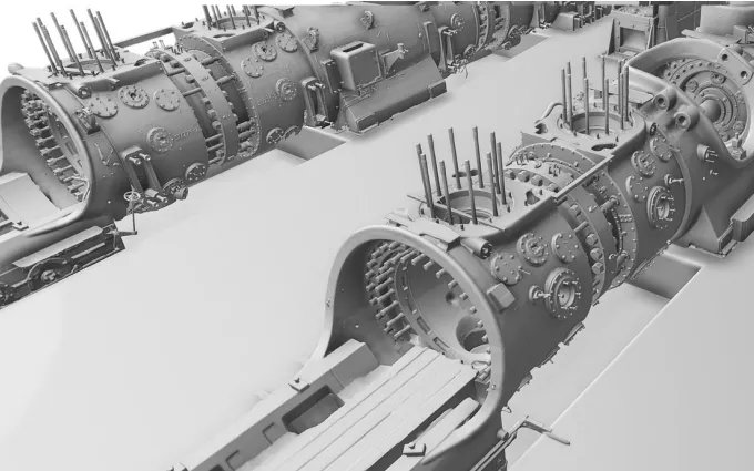
Maintaining and inspecting power plants requires accurate data about complex machinery and infrastructure. The Ray II’s ability to capture detailed scans with exceptional texture maps is invaluable for analyzing equipment, conducting inspections, and planning maintenance.
Civil Infrastructure
Transportation engineering monitor and maintain transportation infrastructure such as bridges, tunnels, and roads. With its speed and accuracy, the Artec Ray II can efficiently capture 3D data for inspection and documentation, aiding in infrastructure planning and maintenance.
Heritage Preservation
Preserving historical artifacts, architecture, and cultural heritage is of utmost importance. The Ray II’s high precision and ability to capture intricate details make it an ideal tool for digitizing and preserving heritage sites, artwork, and artifacts for future generations.

Stay ahead of the curve and elevate your 3D scanning projects with the Artec Ray II. Embrace the power of precision and efficiency and unlock a new level of possibilities in the world of digitization.

