Grillone
Guest
thanks for the link.
")
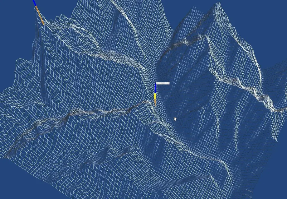
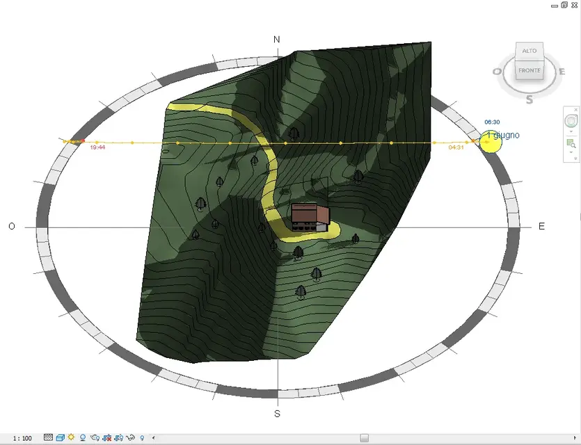
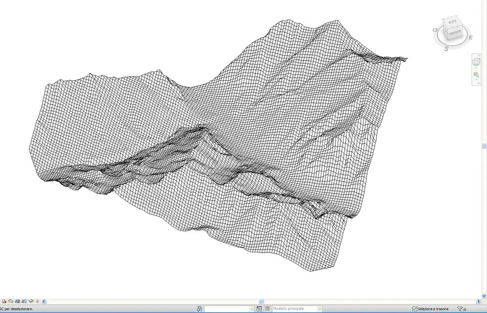
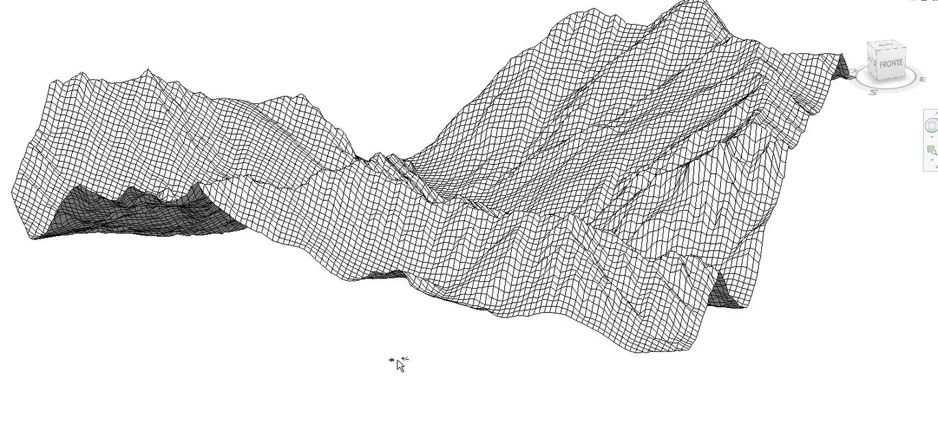
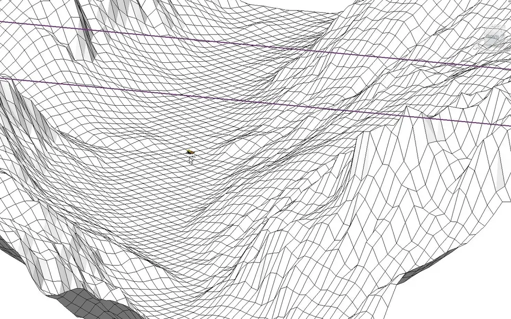
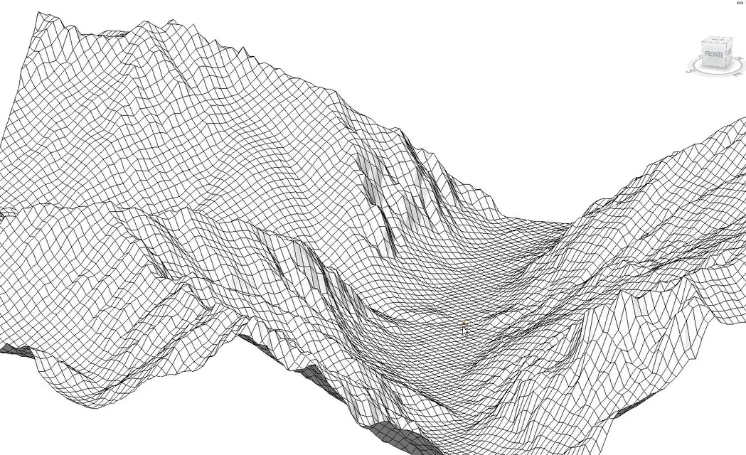
I understand what the tinc needs. I did another test with ozi3d using a satellite map, but with the dtms of the Piedmont region. ozi allows me to read dtms with greater resolution. in the attached case I created a grid with 114 meters of lattice and I have about 8400 points.
first question: revit explodes if he had to manage a plot of 8400 points?
second question: how many points would it be better to have the ground not to weigh revit?
third question: revit imports csv file of the soil type x,y,z but x and y if they are the long and lat I have to repair them in the zero of my screen. even z I should reload it from zero as part of my house. working in excel is not difficult to do it ... just recalculate the cells. Do you have an example of revit csv files?
ps: I understand that for you gis with map is easier:smile: but I hope to get there the same in a way a little more artisanal :finger:
Thank you.